
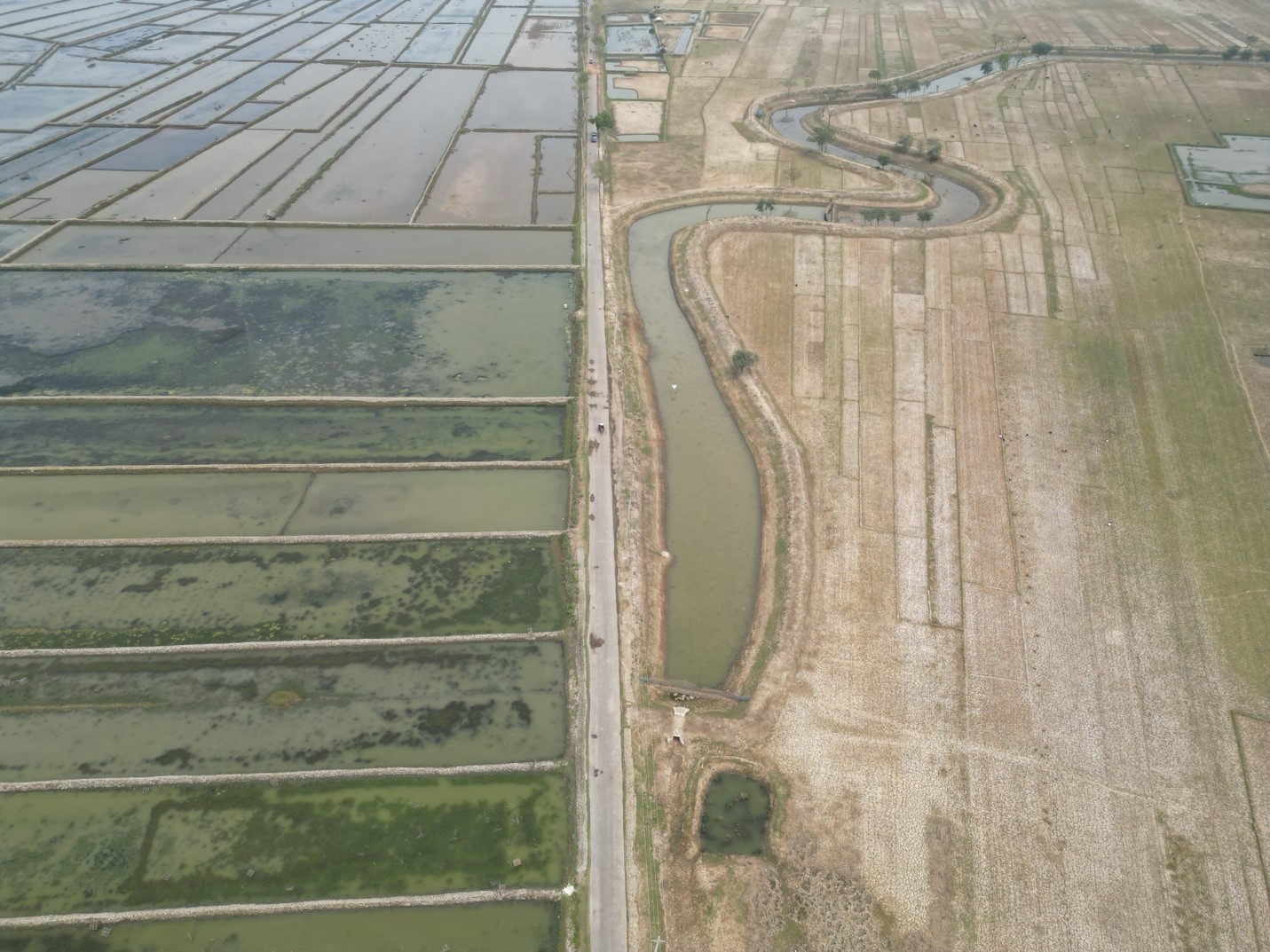

Area of Expertise
· Satellite image processing |
· Land use/land cover classification |
· Monitoring & damage assessment of Disasters including flood & erosion |
· Analysis of spatial and temporal data derived from satellite images · GIS Mapping and spatial analysis · GIS based application development · GIS enabled web mapping and geo-spatial solution · GIS based MIS and Decision Support System (DSS) development · GIS training for capacity building to organizations and teams of individuals |
Why We Stand Out
Technology Integration: We combine various high-tech surveying methods for results that are both accurate and comprehensive.
Customized Solutions: Every survey is tailored to the specific needs and objectives of your project.
Experienced Team: Our skilled surveyors are adept at leveraging these technologies to deliver precise and reliable data.
There are various ways you can contribute to our goal, whether you want to join our team, form a partnership, or contribute to our purpose. Go to contact
Science Connect Ltd. is a Center of Excellence for conducting research on environment and development, providing professional services in a number of fields such as terrestrial environment, water resources, forest and ecology, ecosystem services, agriculture, fisheries, power, energy and climate change.
The strategic actions that may characterize the mission of the organization are three-folds. These are as follows, Work for the society towards evidence-informed decision making and connecting science with the problem-solving environment.
Creating an enabling atmosphere where societal challenges in five capital areas, i.e. natural, physical, social, economic, ecological functions and processes are understood better based on systematic and analytical processes using scientific data, methods, tools and the strength of integration of disciplines.